UN
21 Prestor
£ 175,000
Description
We don't have a Description for this property.
- Bedrooms
- 2
- Bathrooms
- 0
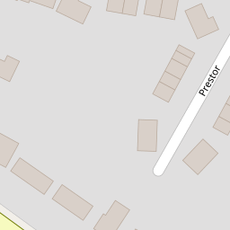
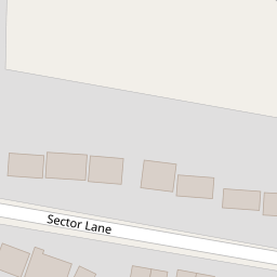
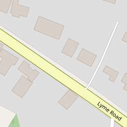

Leaflet © OpenStreetMap contributors
The heatmap indicates the level of crime in the area. The color of the heatmap indicates the crime severity and recency.
Metrics Year-on-Year
- Average area value
- 309,446.00 £Increased by 0.69 %
- Average area rental value
- 1,040.00 £/moDecreased by 13.26 %
- Est rental Yield
- 4.03 %Decreased by 13.89 %
- Crime Rate
- 6.00 %Unchanged by 0.00 %
from 307,329.00 £
from 1,199.00 £/mo
from 4.68 %
from 6.00 %
Nearby Schools
| Name | Type | Ofsted | Distance |
|---|---|---|---|
| Axminster Community Primary Academy | Academy Converter | Good | 0.58 KM |
| St Mary'S Catholic Primary School, Axminster | Academy Converter | Good | 0.59 KM |
| Axe Valley Academy | Academy Sponsor Led | Requires improvement | 0.94 KM |
| All Saints Church Of England Primary School | Academy Converter | Good | 2.89 KM |
| Kilmington Primary School | Community School | Outstanding | 5.01 KM |
Images
Nearby Streets
| Name | Average Price | Average Sqft | Distance |
|---|---|---|---|
| St George's Avenue | £ 210,000 | 0 | 0.00 KM |
| King Edward Road | £ 337,500 | 0 | 0.00 KM |
Nearby Transport
| Name | NLC | TLC | Distance |
|---|---|---|---|
| Axminster | 5714 | AXM | 1.93 KM |
Nearby Listings
| Address | Price | Type | Score | Distance |
|---|---|---|---|---|
| Lyme Road, Axminster | £ 1,000,000 | BUY | 7 / 10 | 0.11 KM |
| Sector Lane, Axminster | £ 320,000 | BUY | Unknown | 0.13 KM |
| Linseed Drive, Axminster, Devon, EX13 | £ 315,000 | BUY | 7 / 10 | 0.21 KM |
| Valley View, Axminster | £ 80,000 | BUY | 5 / 10 | 0.21 KM |
| Linseed Drive, Axminster | £ 315,000 | BUY | 7 / 10 | 0.22 KM |
Nearby Properties
| Address | Price | Distance |
|---|---|---|
| 21 Prestor | £ 175,000 | 0.00 KM |
| 16 Prestor | £ 195,000 | 0.00 KM |
| Charmays | £ 200,000 | 0.10 KM |
| Good News | £ 215,000 | 0.10 KM |
| Selwood | £ 200,000 | 0.10 KM |